Kitty’s Gorge Walk Trail: Everything you need to know
One of the best walking trails in the Perth Hills, Kitty’s Gorge will be a familiar name to those that have hiked in the area and will probably be associated with a great time.
For those that haven’t heard of this hike then keep reading to find out about this fantastic trail:
What Is It?
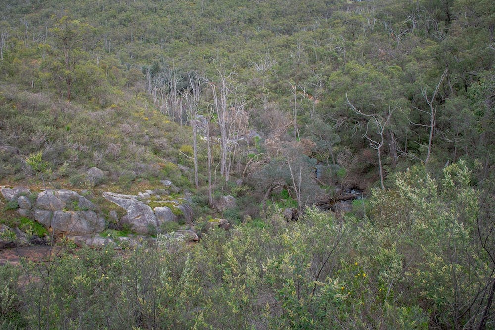
Often rated as one of the best half day trails in Perth, Kitty’s Gorge is a 17.5km return hike exploring the area carved into the granite hills near Jarrahdale by Gooralong Brook and the Serpentine River. Thanks to the high rainfall this area receives and the two water courses snaking through the picturesque valleys, this whole area feels very lush. The name Kitty’s Gorge comes from a legend about a cow called Kitty that once got lost in the area and was found in one of the steep gorges along Gooralong Brook.
Where Is It?
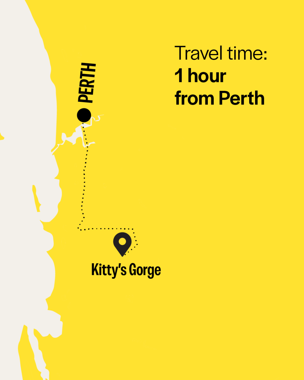
Located next to the little town of Jarrahdale on the Darling Scarp, it’s just under an hour from the CBD along the Kwinana Freeway and Mundijong Road. The trail runs between Jarrahdale and Serpentine Falls in Serpentine National Park and you can start at either end depending on how you are feeling. If you start at the Serpentine Falls end then make your way into Serpentine National Park from South Western Highway (check Parks and Wildlife website for opening and closing times) and park in one of the many car parks near the falls.
IF you choose to start at the Jarrahdale end then make your way up Jarrahdale Road, turn right at Oak Way, then turn right onto Atkins Rd. Parking is opposite the cemetery and the trail head has a large information shelter. If you’re organised and in a group, then you can drop a car at each end and do this as a one way trail.
What to Do?
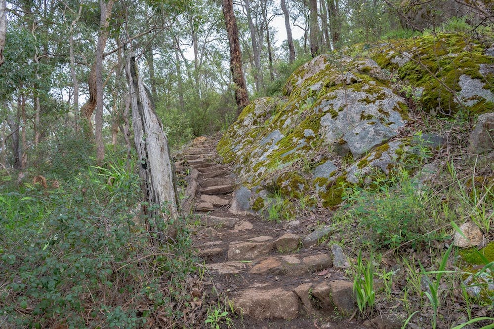
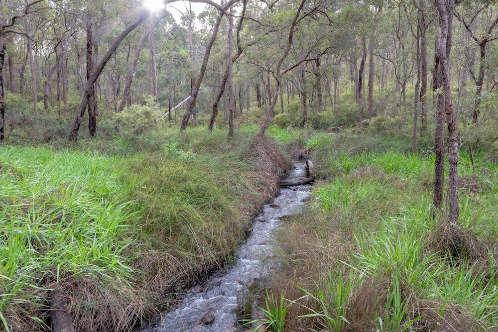
The 17.5km return journey is a fantastic way to spend half a day exploring the beautiful forests around Jarrahdale and between winter and late spring you’ll find a colourful display of wildflowers on the edge of the trail. Starting at the Jarrahdale end means a long meander downhill to Serpentine Falls, following the course of Gooralong Brook and then the much wider Serpentine River. Providing some excellent views of the granite rapids found along the two valleys, this is a trail you’ll want to slow down on and really take in the tiny details.
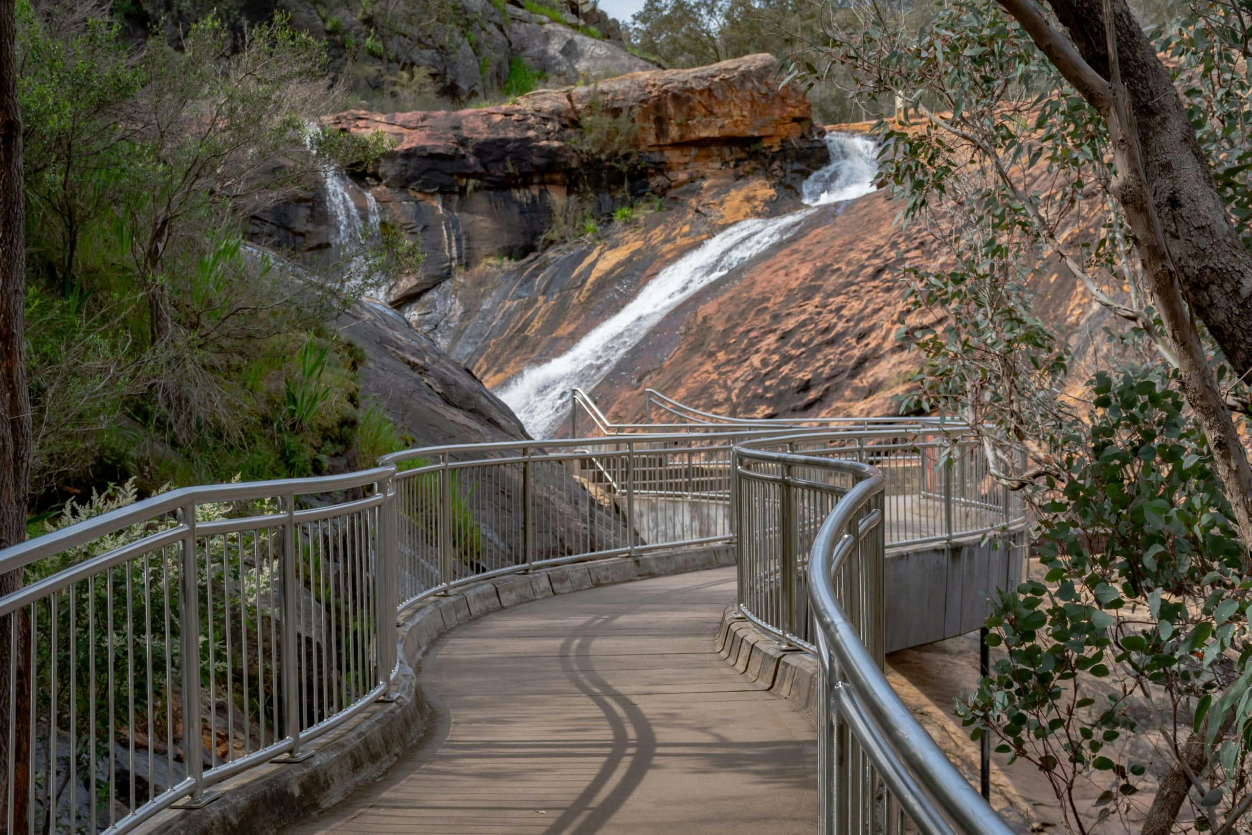
As you reach the Serpentine River the hike switches from closed in single trail to wide open spaces. Take a side trip to Spencer’s Cottage before following the river down towards the popular Serpentine Falls. This Pilbara-esque location is home to a sloped waterfall and is a nice swimming spot in the summer (again, check the Parks and Wildlife website to make sure it is open). There is plenty of space at the day use area for a picnic with gas BBQs and tables for you to use. Once you’re ready, you can head back the other way or if you organised a car shuffle then it’s hike over.
Subscribe to our free newsletter!

What Not to Do?
As always, keep to the Leave No Trace Principles so these natural spaces are kept in great condition for the next hiker. Obey all signs and instructions from the rangers at Serpentine Falls and don’t go climbing on the rocks above the pool.
Anything Else?
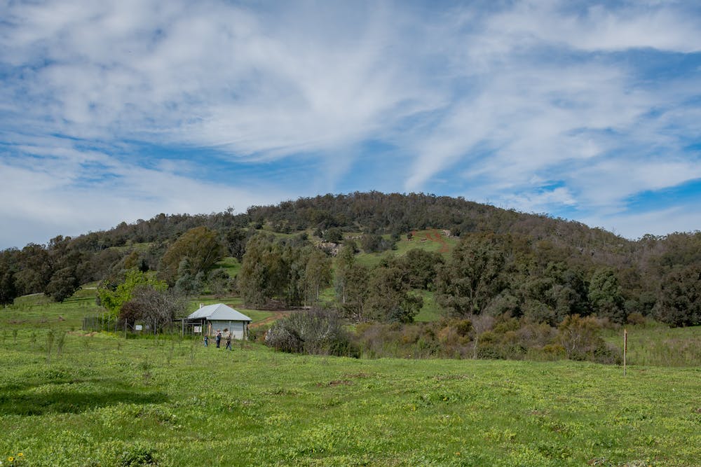
If you’re after a little more hiking on top of the 17.5km return trail then Baldwin’s Bluff is a 6km return hike leaving from the Serpentine Falls picnic area. Taking you up to the summit of a nearby hill, you get some great views overlooking the Serpentine River Valley and the Swan Coastal Plain towards the Indian Ocean.
Mark (The Life of Py) is a Perth based outdoor enthusiast that loves exploring the trails of Western Australia in his free time. When he isn’t out taking photos he is busy planning the next adventure. See more of his content here.