Mount Lindesay: Everything you need to know
The south coast of Western Australia is home to some awe-inspiring landscapes, wild scenery and some ancient geological formations.
While we may not boast the highest peaks or snow-capped mountain ranges, we are lucky enough to have some accessible hills where you can gaze out on the beautiful vistas and take in the epic biodiversity along the way…
What is Mount Lindesay?
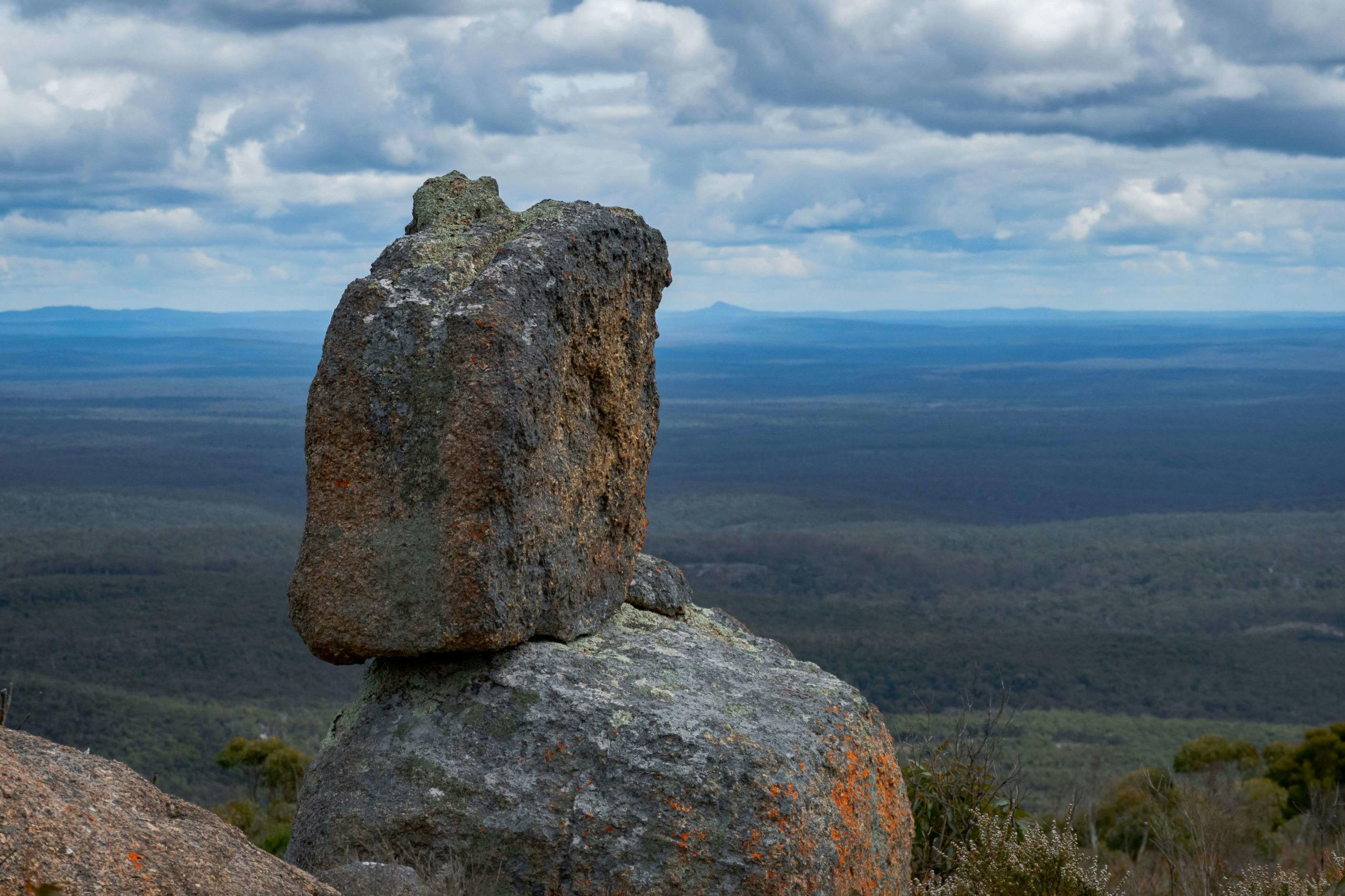
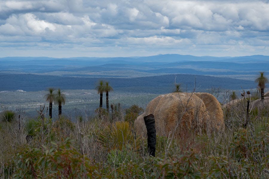
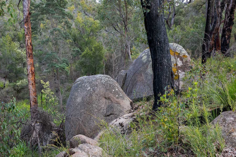
One of the best and most underrated spots on the south coast is Mount Lindesay, a granite hill rising 456m above sea level from the coastal plains and providing some of the best views outside of the Stirling Range. Part of a large network of national parks located inland from the coast between Walpole and Denmark. Around Mount Lindesay you’ll find wildflower filled Jarrah forest, lush vegetation lining the Denmark River that flows through the area and some wide-open granite platforms that are home to all kinds of interesting flora and fauna.
Where is Mount Lindesay?
Located a 30-minute drive north of Denmark on the south coast of Western Australia, follow Scotsdale Road out of town for 7km then turn onto Mount Lindesay Road and follow this for 11km. The final turn for the car park is well signed and there is ample parking at the trail head. Information boards are located on the eastern side of the car park and the trail is well marked all the way to the summit. Be aware that the Google Maps location for Mount Lindesay will not take you to the car park for the hike, instead search for “Mount Lindesay National Park – Trail Starting Point”.
Subscribe to our free newsletter!
What to do at Mount Lindesay:
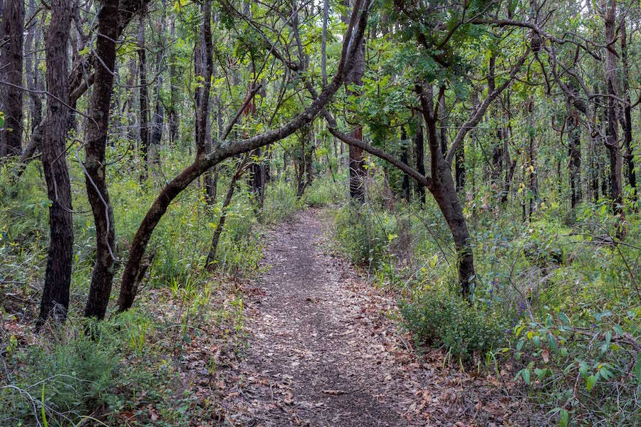
The only way to get to the top of Mount Lindesay is to hike there and the 10km return trail is a fantastic experience for those with a moderate fitness level. Starting with a crossing of the Denmark River and exploring the green valleys, you steadily rise through the Jarrah forest until you reach the exposed slopes of the granite peak. Notice the changes in vegetation type, along with the different fauna you’ll see including lizards sunning themselves on the warm rocks and birds of prey scouring the landscape for their next meal.
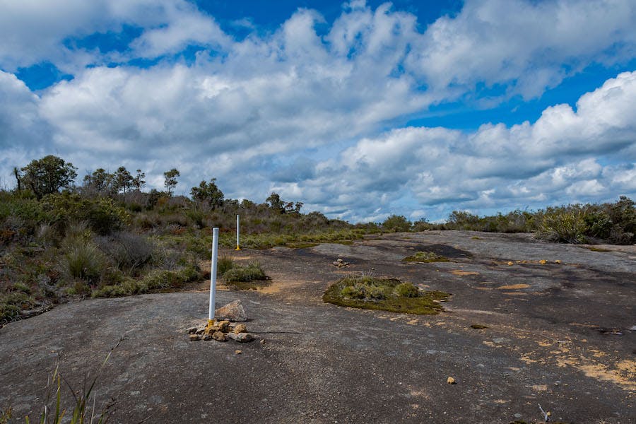
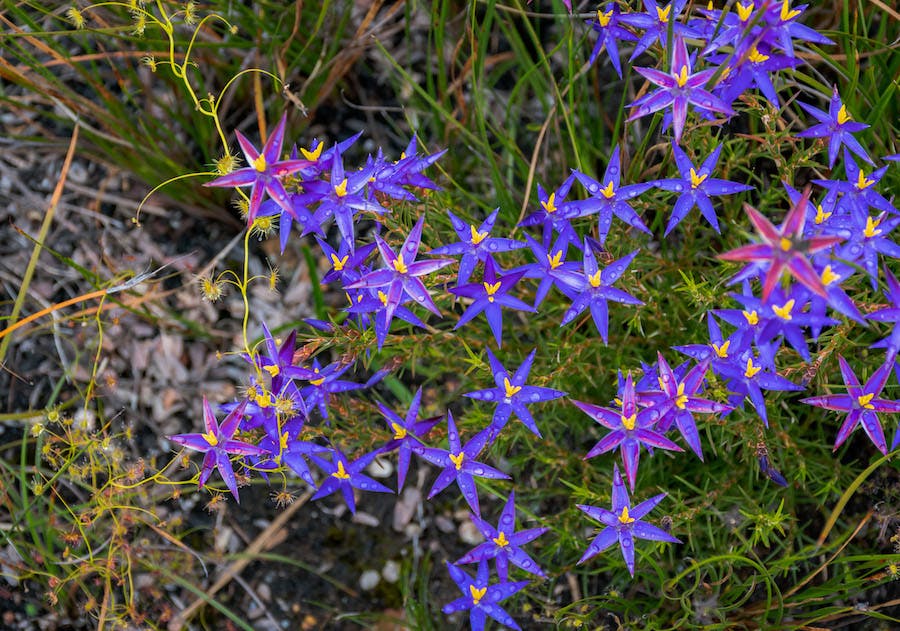
The final push to the summit is on exposed granite with the way well marked by posts attached to the rock. When you reach the summit there is a flat 300m loop trail to explore where you’ll get to experience all the amazing views looking out to the Stirling Range, Porongurups, Mount Frankland and the Southern Ocean. Returning to the car park via the same path, scan the understory for a variety of native wildflowers that call this area home with blooms occurring from winter through to late spring.
What not to do:
As always, be a good human and adhere to the Leave No Trace Principles, taking all rubbish with you and not picking the wildflowers. This area is also susceptible to the fungal disease Dieback so be sure to stick to the marked trail and wash your shoes before and after visiting.
Anything else?
The area around Denmark is an idyllic place to explore with wineries, great beaches, hikes, cafes and galleries. For more ideas on what to do around Denmark check out our guide here!
About the author:
Mark (The Life of Py) is a Perth based outdoor enthusiast that loves exploring the trails of Western Australia in his free time. When he isn’t out taking photos he is busy planning the next adventure. See more of his content here.