The Best Multi-Day Hikes In Western Australia
The Stirling Range Ridge Walk
The Stirling Range Ridge Walk is widely regarded as both the most amazing and challenging hike in all of Western Australia. The walk follows a very vague trail through rugged terrain, over the spectacular mountain peaks between Bluff Knoll and Ellen’s Peak. It is about 23km from beginning to end and should take approximately 2-3 days to complete.
Hikers should be fit, experienced, possess good navigation skills and be adequately prepared for steep rock and severe changes in weather.
The best time of year to attempt the hike is in late spring and early autumn, with spring offering the opportunity to enjoy unique wildflowers.

Photo by @coopsfrootloops
Subscribe to our free newsletter!
Cape to Cape Track, Margaret River
The Cape to Cape Track is one of Australia’s most iconic and varied walking trails. It passes through some of W.A.’s most stunning scenery, including pristine white-sand beaches, famous surf spots, limestone caves and giant Karri trees.
The Track runs for 125 kilometres, between the lighthouses of Cape Naturaliste and Cape Leeuwin, generally taking most people between 5-7 days to complete.
There are several campsites and caravan parks for walkers wishing to camp out along the way, spread out roughly a day’s walk apart. Four low-key campsites have a bush toilet, a rainwater-tank, a picnic-table and seats.
The terrain on the Cape to Cape track is fairly moderate, however, there are some rough scrambles and long stretches of soft beach sand.
For those not willing to commit to the 6-day hike, there are many places where it’s possible to access the trail and attempt shorter (but still very worthy) day walks.
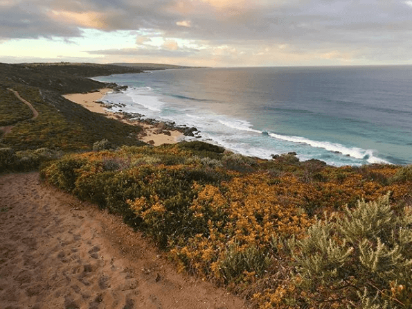
Photo by @trentbaron
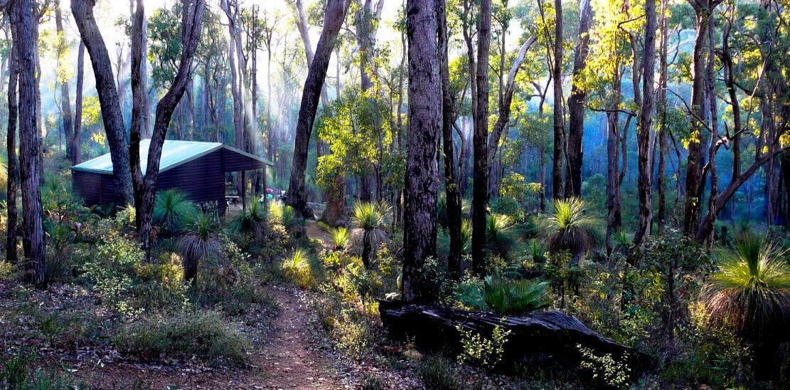
Bibbulmun Track
The Bibbulmun Track is one of the world’s great long distance walk trails, stretching 1000km from Kalamunda in the Perth Hills, to Albany on the south coast.
It passes through many of the most beautiful parks of the Perth and South-West regions, taking walkers through towering forests, down mist-shrouded valleys, over giant granite boulders and along breathtaking coastal heathlands.
The Track is for walkers only and is signposted with yellow triangular markers symbolising the Waugal, the rainbow serpent of the Aboriginal Dreaming. Trail markers are spaced up to 500m apart.
It would take about two months to follow the snake markers all the way; although a Perth hiker recently broke the record after walking the 1,000km track in just over two weeks.
You are able to complete the trail in sections, allowing you to mix and match day and multi-day treks according to your time, the scenery you want to see and your capabilities.
The track is well equipped, with hikers’ huts or campsites situated about a day’s walk apart.
For more info check out the Bibbulmun Track Foundation.
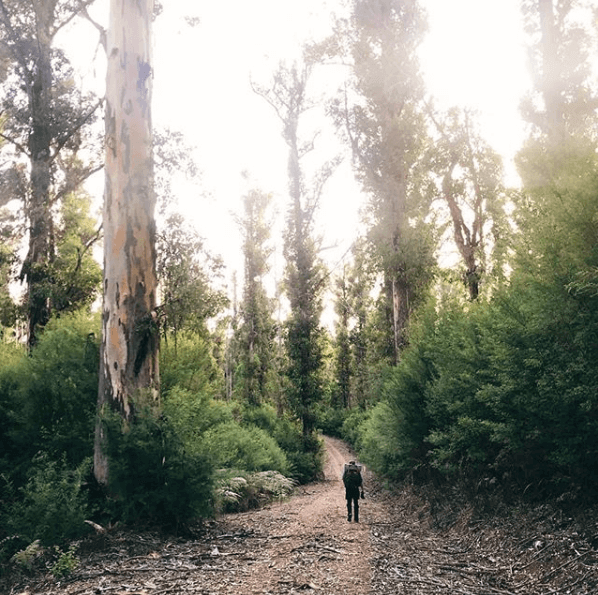
Photo by @aussieblokehikes
Bibbulmun Track (Denmark to Albany)
The final section of the Bibbulmun Track takes you from Denmark to Albany and is often considered to be the most beautiful part of the walk. This stretch is 85kms in length and usually takes five days to complete.
This section offers sheltered swimming spots and some of the best uninterrupted rugged scenery along the south coast.
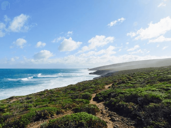
Photo by @walkintoluxury
Piccaninny Gorge Walk
Piccaninny Gorge is the largest of all the gorges in Purnululu National Park. In the wet season, water flows along the creek between the red and black beehive domes. In the dry season, visitors can walk along the dry creek bed to see more of the Bungle Bungle Range and the interesting shapes created in the creek bed by the flow of the water. Piccaninny Gorge has no marked track and no defined end point so hikers must rely on their own navigational skills to complete the walk.
The hike is up to 10km return and requires a high level of fitness and mobility. The track is moderately easy up to the gorge entrance. It then becomes moderately difficult in the gorge itself, with hikers having to negotiate around fallen boulders, loose rocks and along creek beds.
Hikers will need to camp for at least a night.
For more info head here!
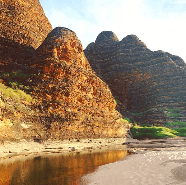
Photo by @rachelbosman
Cover photo of the Bibbulmun Track by The Chart & Map Shop