Toolbrunup Peak: Everything you need to know
The neighbouring cousin to the popular Bluff Knoll, Toolbrunup Peak is a more extreme version of the tallest peak in the Stirling Range and only about 50m shorter.
Standing proudly in the middle of the Stirling Range, this imposing mountain is home to one of the hardest day hikes in the area and combined with the unpredictable weather, it can feel like another world.
What is Toolbrunup Peak?
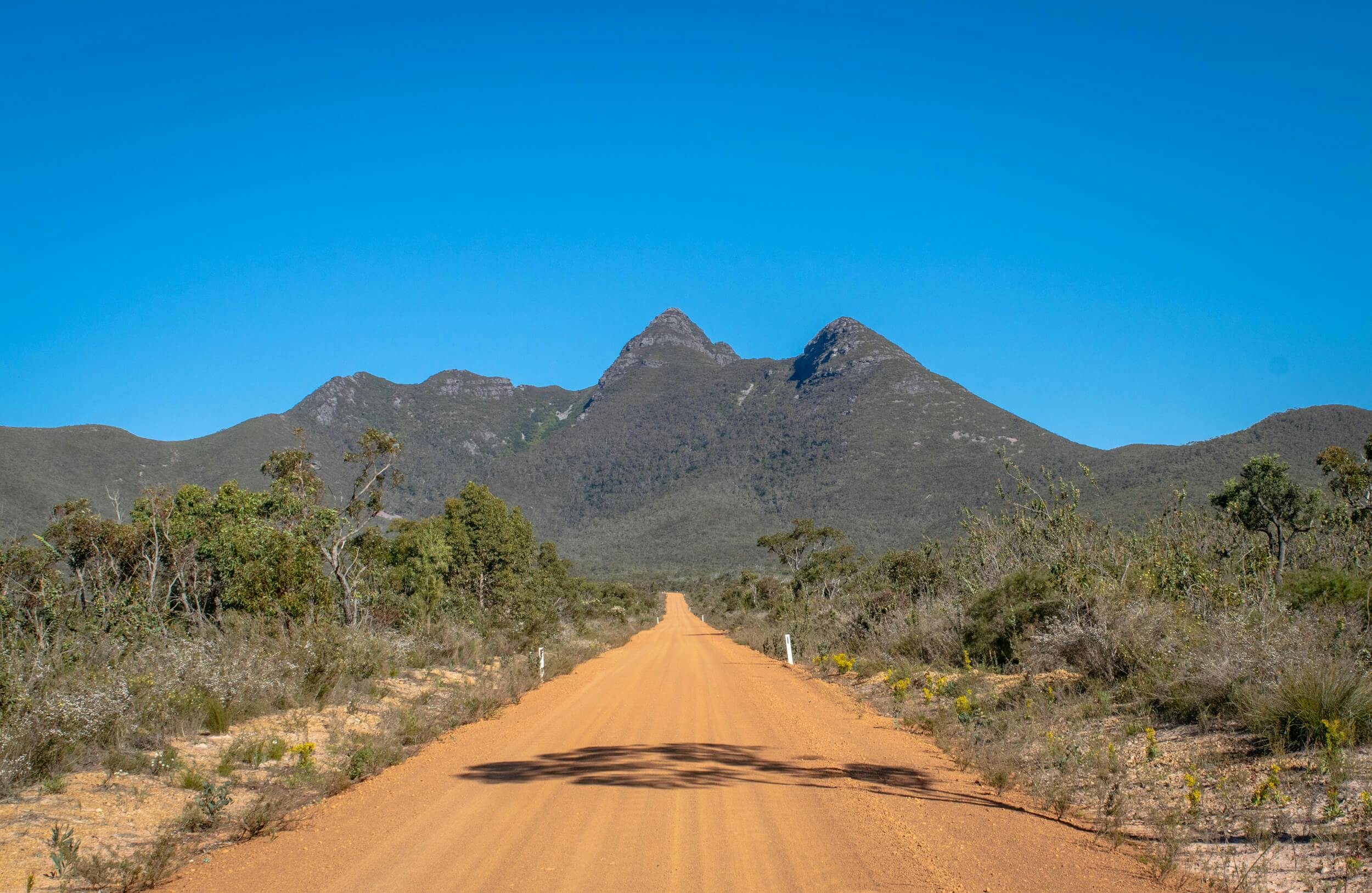
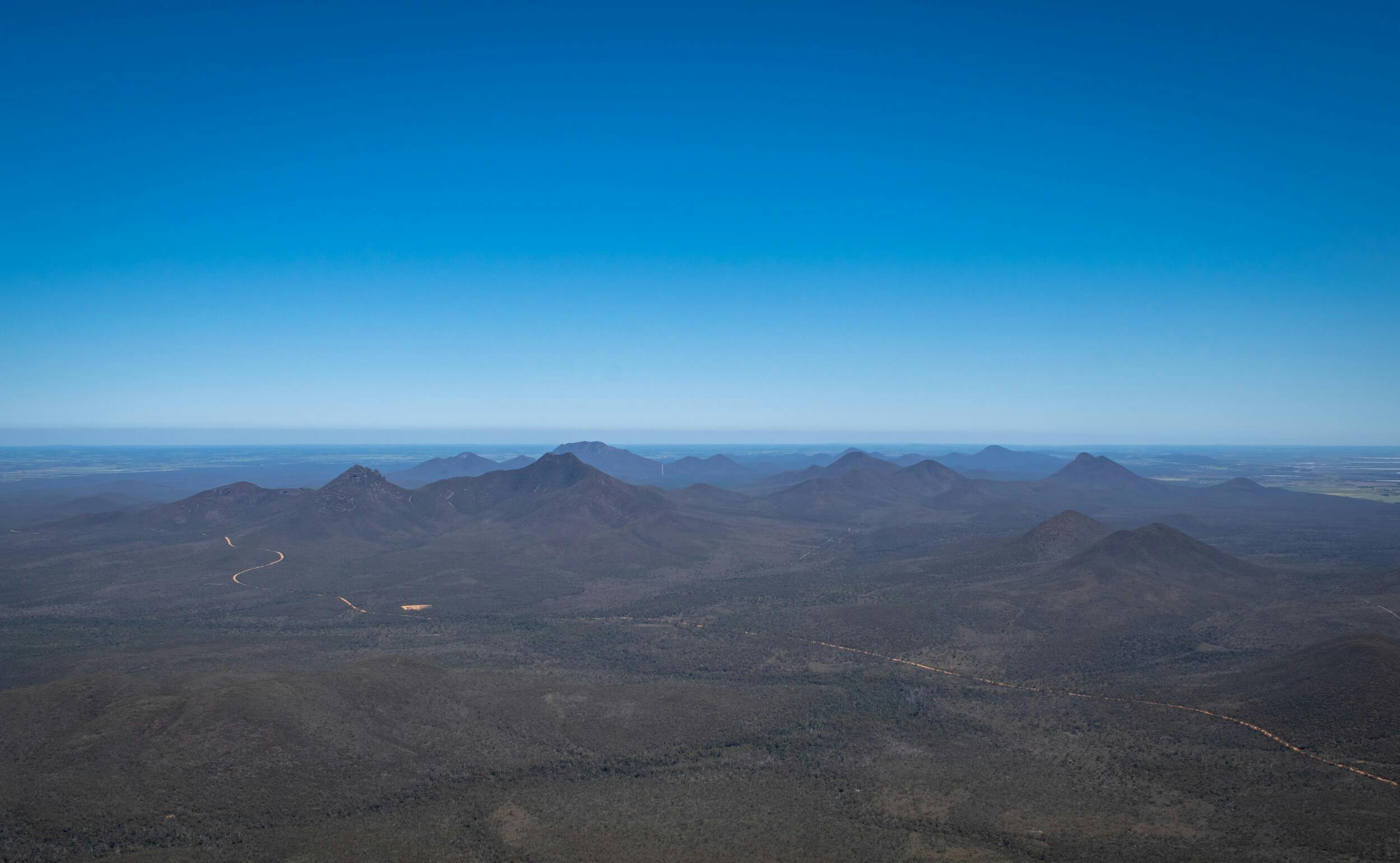
Toolbrunup Peak is one of many mountains in the Stirling Range (or Koi Kyenunu-ruff as it is known by the Noongar people), a series of peaks running east-west for 65km. Rising from the landscape, Toolbrunup is one of the more noticeable features as you drive through the area and a tough challenge for those that decide to hike up to the summit.
Where is Toolbrunup Peak?
Located about 100km north of Albany in the state’s south and 400km from Perth, the Stirling Range National Park is easily accessible by 2WD cars. If you’re coming from Perth then take Albany Hwy all the way to the Cranbrook turn-off and follow the signs all the way to the park. If you’re approaching from Albany, get on Chester Pass Rd and head north until you start seeing the mountains.
Toolbrunup is located on Toolbrunup Road, just past the old Moingup Springs Campsite. Follow the road all the way to the small gravel car park where you will find a small picnic area and information boards about the hike.
What to do at Toolbrunup Peak:
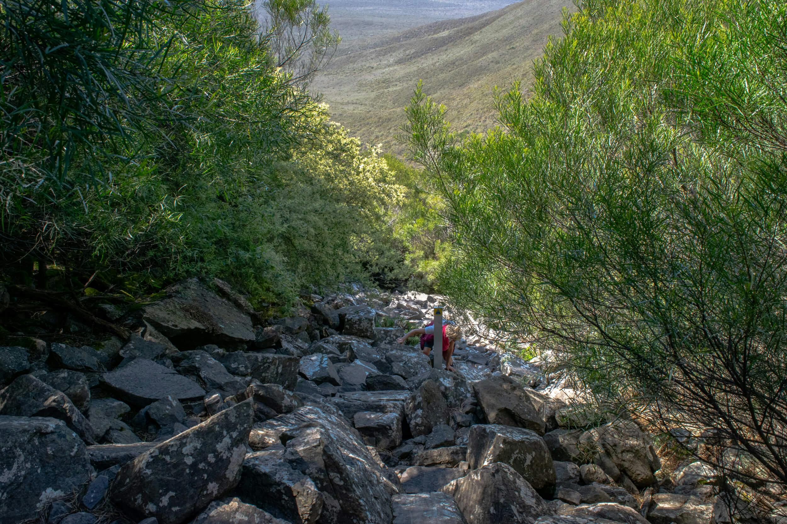
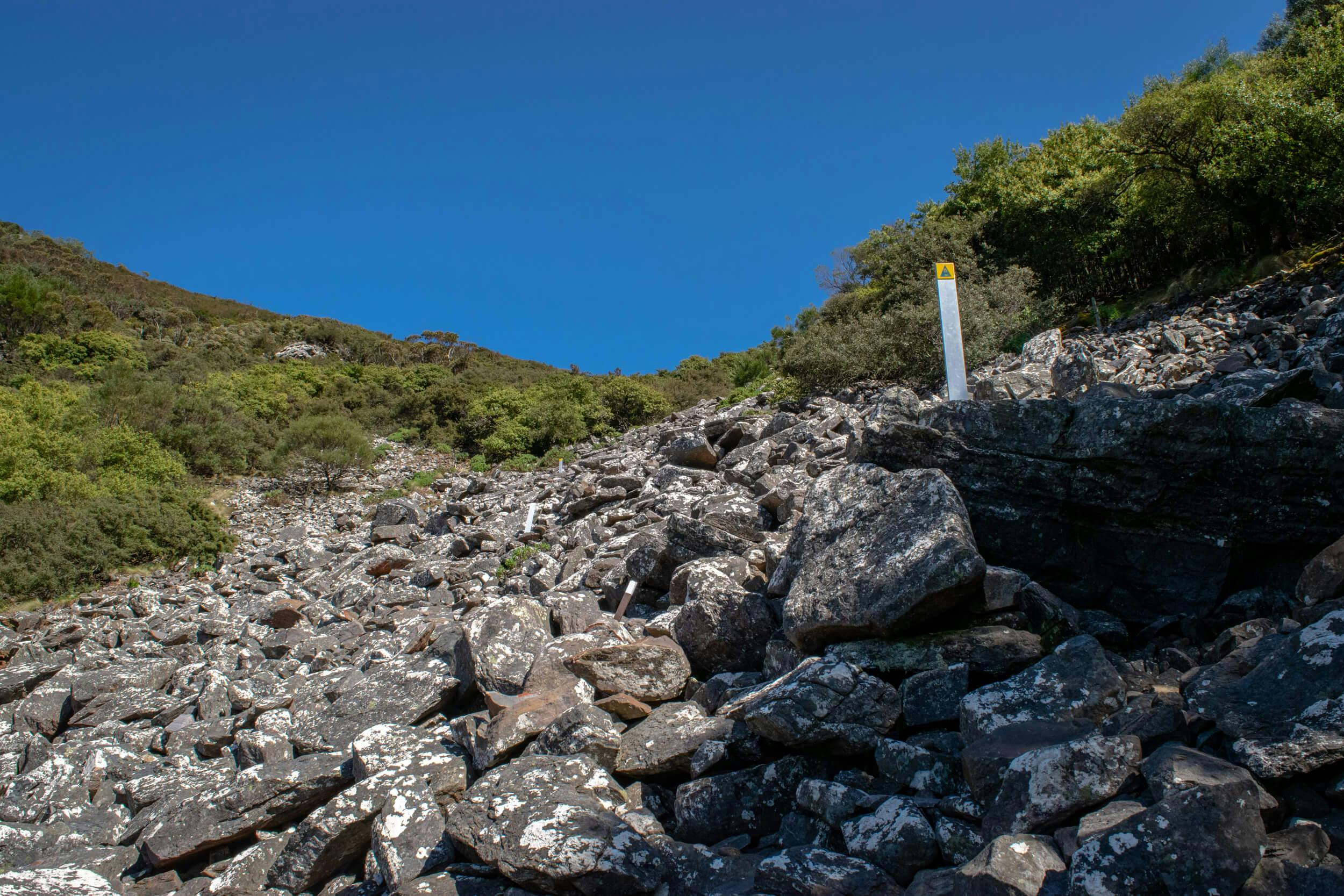
If you’re up for an adventure then the 4km return hike to the summit of Toolbrunup is a pretty cool way to spend a few hours. As one of the hardest day hikes in the Stirling Range, you will be climbing non-stop to the summit as you ascend over 500 vertical metres. Unlike Bluff Knoll, the trail is not a series of steps leading all the way up, instead you tackle a fun scree field where you have to scramble up piles of rocks that have been deposited on the side of the mountain over the years.
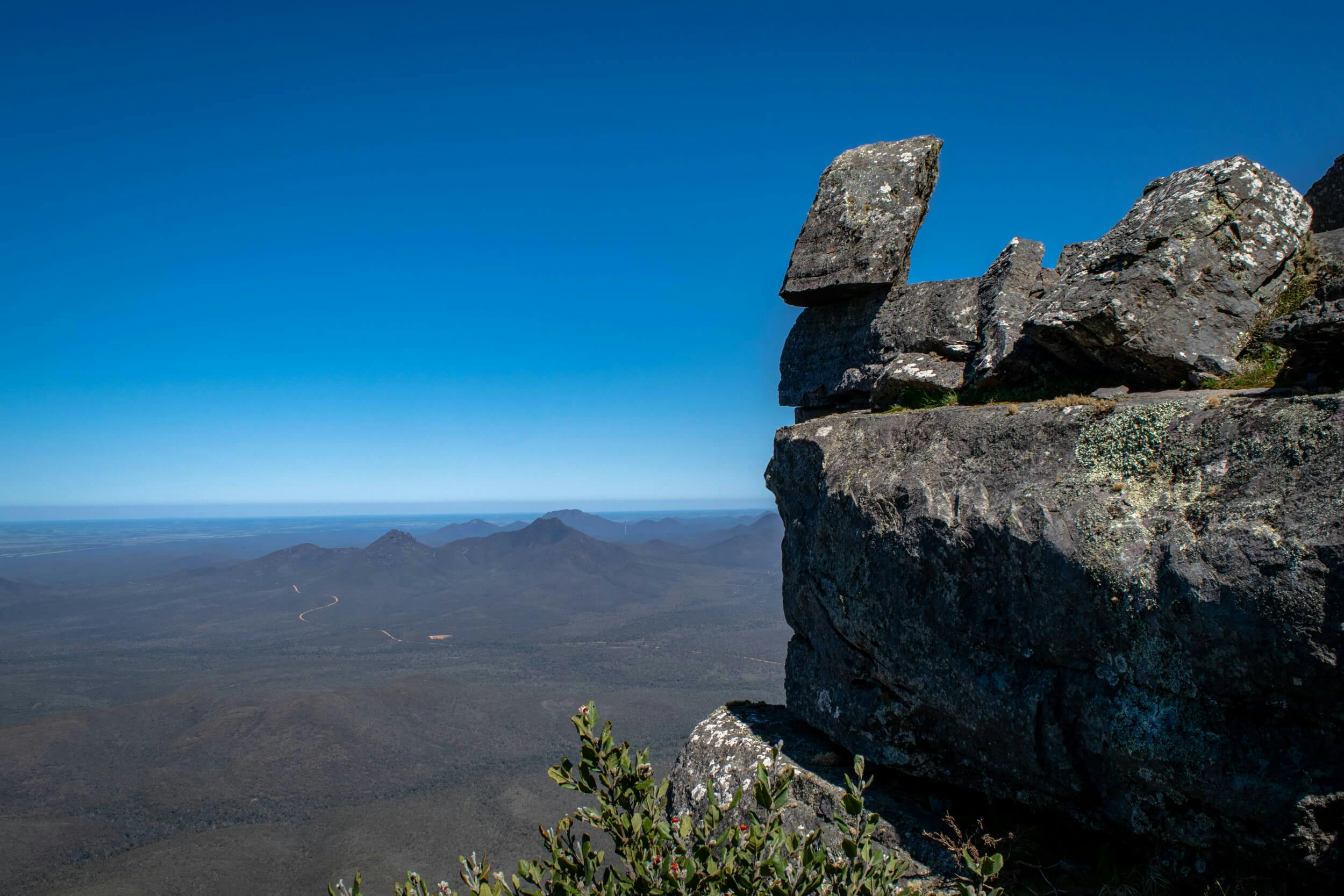
A series of posts stops you getting lost and once you reach the saddle there is one last section of rocky ledges to negotiate before you reach the summit. Once there you will get 360-degree views across the landscape where you’ll be able to see all the other major peaks in the area along with the Porongurups to the south. If you’re keen then you can start your hike in the dark and aim to arrive at the summit for a sunrise you won’t forget.
Subscribe to our free newsletter!
What not to do:
Come unprepared! The weather conditions in the Stirling Range are unique to the area and can change very quickly. Always carry a rain jacket and warm clothing, especially from autumn through spring and be wary if conditions turn. High winds near the summit can makes things difficult, especially on the narrow rocky sections so wear good footwear (something with plenty of grip) and don’t take unnecessary risks.
Dieback is an increasing problem in the Stirling Range so if you’re planning a lot of hikes then carry a spray bottle in your car of methylated spirits diluted in water (a 60/40 split is good) and spray your shoes before and after your hike. It’s everyone’s responsibility to stop the spread and the Stirling Range has a lot of biodiversity to protect.
Anything else?
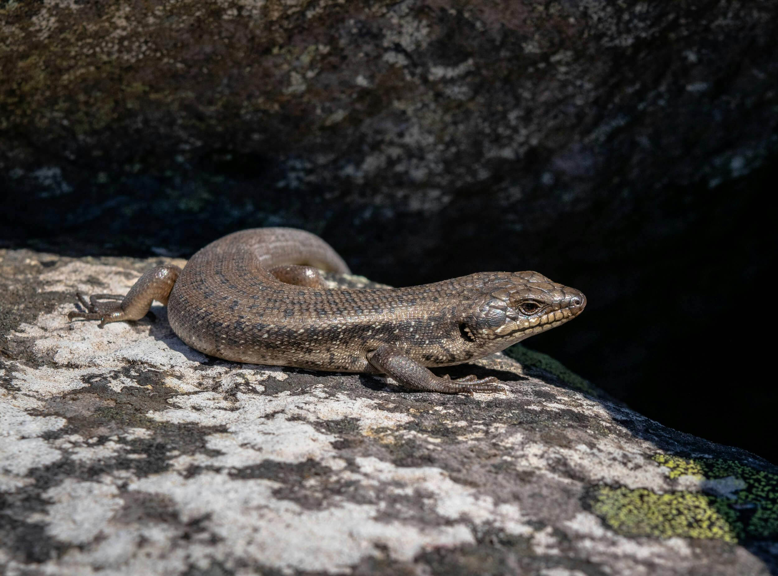
Two large scale fires have ravaged the Stirling Range in 2018 and 2019 so the area for the next couple of years will still be recovering. Some parts of the park escaped the fires and the two hikes to Talyuberlup Peak and Mount Magog are definitely worth checking out if you want to see what these peaks look like before a fire comes through.
About the author:
Mark (The Life of Py) is a Perth based outdoor enthusiast that loves exploring the trails of Western Australia in his free time. When he isn’t out taking photos he is busy planning the next adventure. See more of his content here.