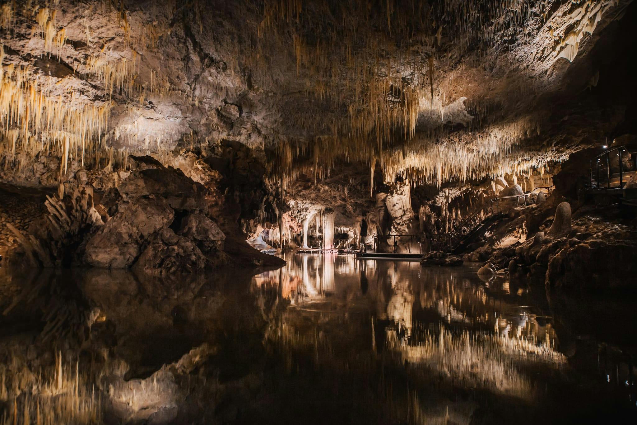
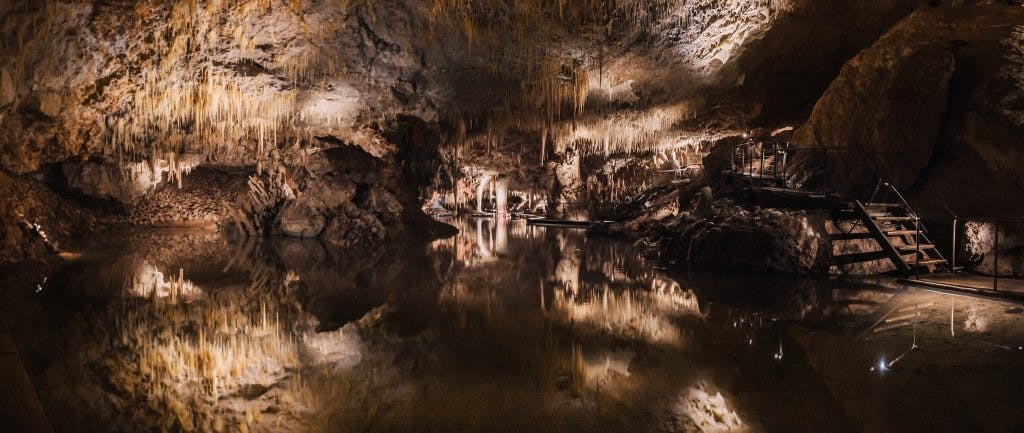
The water level in Margaret River’s Lake Cave has reached its “highest point in decades”
If you were planning on a trip to our lovely south west region any time soon, may we humbly point you towards a stop over at Margaret River’s Lake Cave for a once-in-a-lifetime opportunity.
The Capes Foundation has just announced that water level down in the cave has reached its highest point in decades, creating some stunning vistas.
“The water in the cave’s lake originated as rainfall on flat ground about 1 or 2 km to the east,” said Capes Foundation Director Steve Harrison. “It is now making its way through the limestone ridge towards the coast, where it emerges as springs, including the one at Conto Spring Beach.”
The phenomenon is a result of of the 2021 bushfires burning significant areas of vegetation that would usually absorb large amounts of water in the soil, but without it, a much larger-than-normal amount of rainwater has permeated the limestone ridge.
“As a result, a larger quantity of water is now flowing through the limestone, leading to an elevation in the water table within the porous rock,” said Harrison.
Subscribe to our free newsletter!
“This event clearly demonstrates the interconnected nature of our environment and how changes in above ground vegetation impact the water levels below ground.”
The Capes Foundation has been studying water levels in the cave for over 15 years.
Given the fickle nature of predicting water levels in the cave, visitors are encouraged to visit soon for this potentially once-in-a-lifetime experience.
Head to the Capes Foundation website for more info.
Image Credit: Supplied