Perth weather: Rain finally arrives after “unusually dry seven months.”
Perth’s never ending heat has finally made way for a blast of winter, after an unusually warm autumn sent records tumbling – once again.
While we’ve had an incredibly dry six months, the good news is winter rainfall totals are looking a lot more promising.
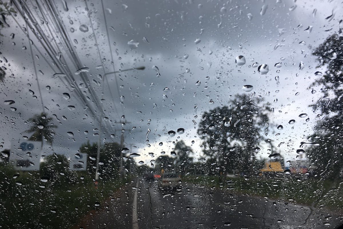
Heavy rain sweeping up from the south-west is giving the city a much-needed soaking, and you’ll want to keep out the gum boots and thick jackets this week, as we have more to come!
According to the Bureau of Meteorology: “Another rainband is moving over the northern suburbs this afternoon, with a severe weather warning in place for areas like Hillarys, Warwick and Nollamara…
“There could also be thunderstorms, heavy rain and hail as far north as Jurien Bay and inland to Northam and Moora.”
The wet weather is also breaking up the stubborn pattern which has been in place for the past few weeks.
“Perth’s record breaking heat” is the one phrase we are hearing time and time again, and May was no different, with maximum temperatures about four degrees above the long term average of 22 degrees.
There were 18 days where the temperature reached at least 25, smashing the previous record of 15 days, which was set in May 2009.
That includes 13 days in a row.
The rolling heat – and rolling records, were caused by a stagnant weather system which produced summery conditions, sending warm, easterly winds into Perth and the south west, day after day.
“The reason we’ve seen the extended dry weather is because of a persistent ridge of high pressure to the south of the state,” says Bureau of Meteorology forecaster, Jessica Lingard.
“Now this high pressure system is totally normal if it were January but as we head into May, we usually start to see it moving north, the cold fronts that we see with the winter season are further south, so we do need those ridges to move north for the cold fronts to move through.”
And that is exactly what’s happening, with widespread rainfall across the city and the south west.
Coastal areas in the southern suburbs copped the biggest falls – by 9 o’clock this morning, Mandurah had recorded 20 millimetres of rain.
Garden Island off Rockingham had 16 mills. Swanbourne – 12 millimetres.
We’ll also start to feel the chillier temperatures mid week, just after the front passes through.
Subscribe to our free newsletter!
And while showers will ease a little, there’ll be another round of heavy rain on the weekend.
A cold welcome to winter – let’s hope Perth drivers can handle the rain!
“We’ve had an unusually dry seven months, and we haven’t seen any decent rainfall since the end of winter last year,” Ms Lingard said.
“We are actually expecting average to above average rainfall for the southern half of the state across winter, but it won’t make up for an abnormally dry Autumn.”
Lee Steele is a journalist for Channel 10, reporting on news, weather and what’s on around Perth and WA.